Summiting and Experiencing Mt. Whitney
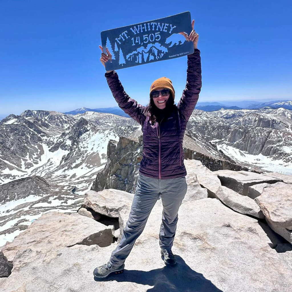
Towering at 14,505-feet, Mount Whitney reigns supreme as the highest peak in the contiguous United States. Nestled in the Sierra Nevada range of eastern California, it straddles the border of Inyo and Tulare counties. It towers 10,000-feet over the Owens Valley floor at 4,000-feet.
This majestic mountain isn’t just a geographical giant; it’s a symbol of adventure, a challenge for mountaineers, and the pinnacle of California’s wilderness crown.
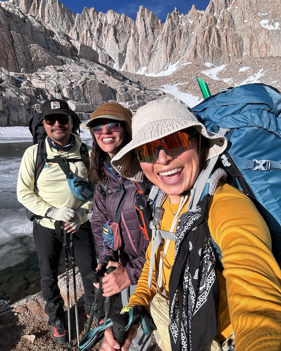
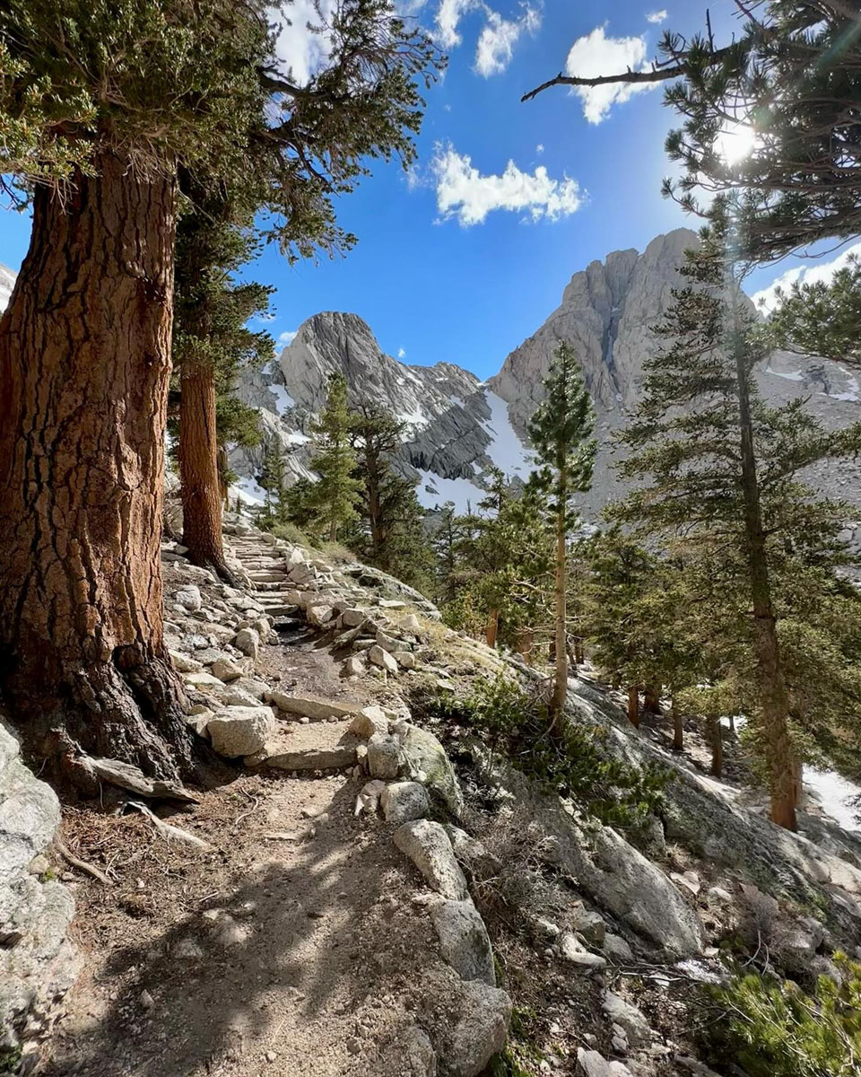
Reaching the summit of Mount Whitney is an exhilarating experience, but it’s no easy feat. Hikers can choose from several trails, each with its own challenges. The most popular route, the Mount Whitney Trail, starts at Whitney Portal (elevation 8,360-feet) and ascends a demanding 11-miles with an elevation gain of over 6,000-feet. The hike requires physical fitness, proper acclimatization, and a permit, which are strictly limited to manage visitor impact.
Mount Whitney also plays a significant role in two long-distance hiking trails. The Pacific Crest Trail (PCT), which stretches from Mexico to Canada, skirts the eastern slopes of the mountain. Meanwhile, the John Muir Trail, a 211.9-mile path honoring naturalist John Muir, culminates at Mount Whitney’s summit. Completing either trail, with Mount Whitney as a major landmark, is a dream for many long-distance thru-hikers.


 Beyond the challenge of the mountain itself, the Mount Whitney area offers a variety of activities for visitors. A visit to Whitney Portal, where the trailhead for Mt. Whitney begins, can be done as a half-day road trip. A paved, winding mountain road leads to a parking area where burbling creeks fill a fishing pond, a picnic area with vault toilets are located nearby, a café serves hungry visitors, and a campground hosts happy hikers.
