Bishop Pass – Hiking
Intro
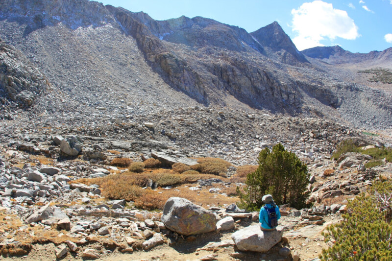
The popular (and sometimes busy) trail to Bishop Pass is steep and slightly rocky, making it more enjoyable for seasoned hikers. The second half of the ascent to the pass is where the real challenge begins (especially if there is still snow hanging around), but those who summit the pass at 11,972 feet are rewarded with striking views of the Eastern Sierra.
What Makes It Great
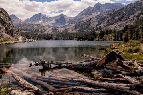
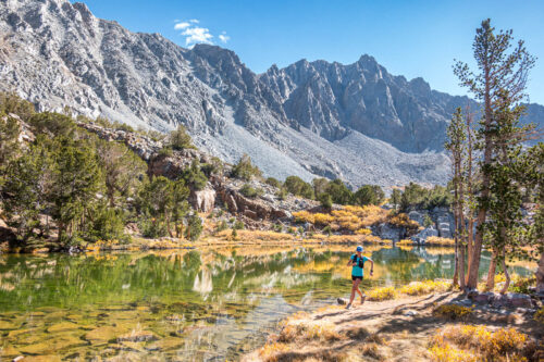
This trail is a photographer’s dream come true. Between the alpine lakes and breathtaking mountain views, plan for some extra time to account for all the pictures you’ll be taking.
The trail starts out fairly moderately at South Lake, the first of many lakes you’ll get to see as you steadily climb up towards the pass. About two miles in is the second lake—Long Lake. This milestone is where some of your fellow hikers might be stopping at and turning around, so if it’s a busy day on the trail and your legs still feel fresh, it’s usually best to press on through this stretch after a quick break to take in the views.
Continue along the east side of the lake and past the junction of a spur trail to Ruwau and Chocolate Lakes. Stay to the right here to continue to the pass. Begin your rocky ascent again as you head towards Saddlerock and Bishop Lakes, and look for a beautiful waterfall at about 3.6 miles. Bishop Lake is about 4.1 miles from the trailhead.
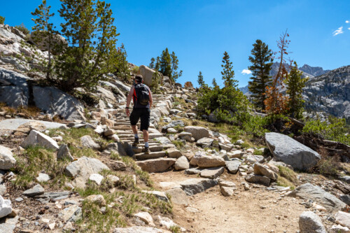
The last push up the mountainside is steep and challenging, with switchbacks through large boulders and rock slabs. Look to the east and you’ll see Mount Agassiz and Aperture Peak as you make your final ascent. When you make it to the pass, you’ll be rewarded with an impressive southeastern view of the Black Divide, Dusy Valley, and Le Conte Canyon.
From here, add more mileage by connecting with the John Muir and Pacific Crest Trails, or turn around and go back the way you came.
Who is Going to Love It
This is a challenging hike because of the steady elevation gain, but the trail is well-marked. While the footing is rocky in some places, it is mostly sturdy. Experienced middle-of-the-run hikers will find this a strenuous but rewarding feat and well-seasoned hikers will appreciate the steep vertical.
There are plenty of places to camp along the way for backpackers looking to break it up into multiple days. If you are seeking solitude, try to visit on a weekday or during the shoulder season. This is one of the most popular summer hikes in the Eastern Sierra, especially around the 4th of July when the wildflowers are bursting into full bloom.
Directions, Parking, & Regulations
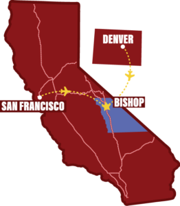
Head west from Bishop on Hwy 168 (Line Street) towards South Lake. Follow the road past the boat ramp to where it dead ends near a paved parking lot with signs for day use and some overnight parking. Additional overnight parking can be found along the road near Parchers Resort.
Wilderness permit required if you are planning to backpack overnight.
Featured image provided by daveynin
Written by:
Roots Rated
What is RootsRated? RootsRated is a media platform that connects users with the best outdoor experiences, hand-picked by local outdoor retailers and their networks of local experts. We are NOT another website full of crowd-sourced trail reviews. We harness the collective expertise of high-level local runners, skiers, riders, paddlers, and climbers. Then we share it through exclusive stories and destination reviews—curated city by city—about the best trails, runs, routes, crags, and more. RootsRated brings people who love the outdoors together, through insights from locals who are most in the know.
