Mt. Whitney
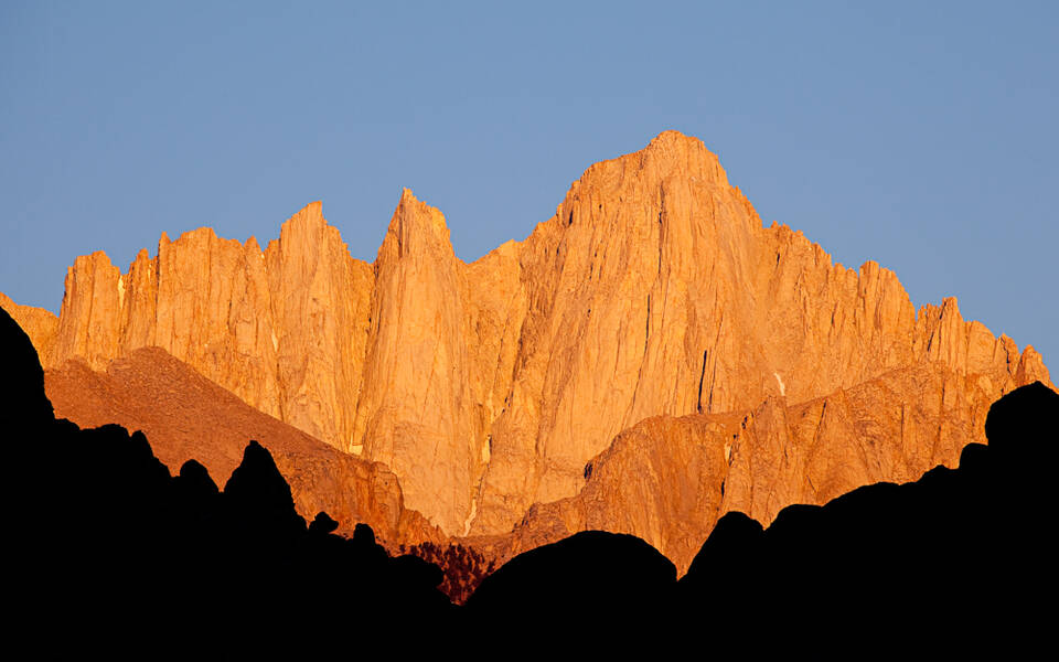
Mt. Whitney is the highest point in the contiguous United States. It stands at 14,505-feet above sea level within the tallest portion of the Sierra Nevada range that runs for about 400 miles down the eastern side of California. The range rises steeply and dramatically above the Owens Valley with numerous peaks well over 13,000-feet. Mt. Whitney was named by a California Geological Survey team in 1864, but it was not successfully summited until 1873. Three friends from Lone Pine, Charley Begole, Johnny Lucas, and Al Johnson, all local Lone Pine fishermen made the first ascent on August 18, 1873.
It has long been a mecca for mountaineers and is the high point along the Pacific Crest Trail that covers 2,650-miles of varied terrain from the Mexico border to the Canadian border. Climbing Mt. Whitney requires a wilderness permit, and the adventure is usually undertaken over a few days. A visit to Whitney Portal, where the trailhead for Mt. Whitney begins, can be done as a half-day road trip. A paved, winding mountain road leads to a parking area where burbling creeks fill a fishing pond, a picnic area with vault toilets are located nearby, a café serves hungry visitors, and a campground hosts happy hikers.

