Rossi Hill Run
Distance / Elevation: 5.75 miles / 1225 feet / Clockwise Loop
Start GPS Coordinates: 37°19’04.3″N 118°24’07.3″W
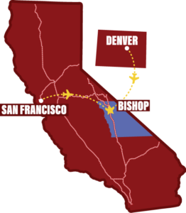
Directions to Trailhead: Take Highway 395 south from Bishop for 3 miles. Turn right onto Gerkin Road followed by another right onto Sunland Drive. In half a mile, when Sunland Drive starts to curve to the right, continue straight onto a dirt road. In 200 feet, turn left onto another dirt road and park at the turn-out 200 feet further on the right.
Difficulty: Medium. Not too long or too much gain, the difficulty comes from rolling, sandy terrain, and navigating a network of enticing trails.
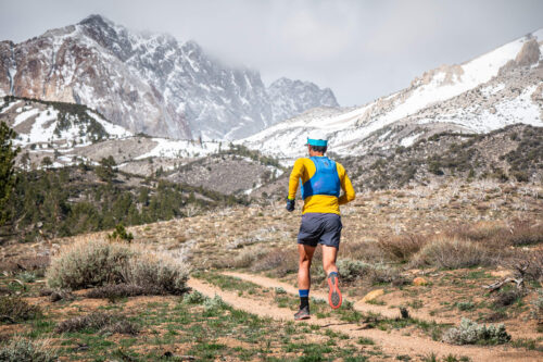
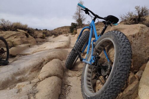
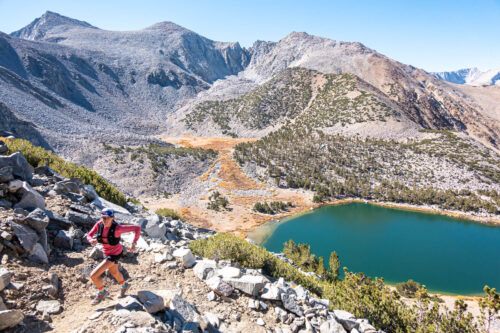
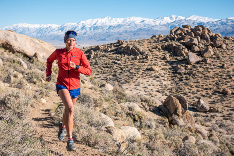
Views: The White Mountains and Owens Valley offer great views, but the shapely boulders along the trail might just steal most of your attention.
Less than five minutes from downtown, Rossi Hill is the quickest access to trails through Bishop’s sage and granite boulders. This 5.75 mile run serves as an ideal introduction to the Bishop winter landscape. Close to town, but within a warm-up jog, you’ll feel somewhere much further away.
From the pull-out parking, follow the dirt road south along the power lines for a quarter mile before making a right turn onto trail. After another mile, a sharp right turn off the main trail leads uphill where the trail meanders through boulders.
Follow this main trail until the next fork appears ~2.3 miles in, and split to the right to go up a small rib. In another half mile, the trail aims toward a tree. Just before reaching the tree, find the faint trail to the right and within ten strides you’ll connect to another larger trail to pass around the tree and continue down the gulley. While speeding through this descent, watch for a right turn at mile 3 for a steep climb up a rocky mound.
After winding through narrow boulder passages and playful downhill bank-turns, make a right at mile 4 where the trail splits in 3 directions. In another quarter mile fork to the left to angle east and continue the fun flowing return.
At mile 5, the trail loops back to a familiar spot. Make all left turns to retrace the trail back to the parking area. To learn more, visit @sierratrailruns
Photos by PatitucciPhoto
Written by:
Dan Patitucci
PatitucciPhoto is a team of three photographers and athletes, Dan & Janine Patitucci, and Kim Strom. Their commercial & editorial work has appeared around the world for countless ad campaigns, magazine stories, and communication for the outdoor industry’s leading brands. In 2021, along with Hjördis Rickert, the four produced Sierra Trail Runs : A Guide to the Eastside, a guidebook and online resource to trail running in the Eastern Sierra. You can follow them at @sierratrailruns
