A Few Fun Ways to Celebrate Fishmas – besides Fishing!
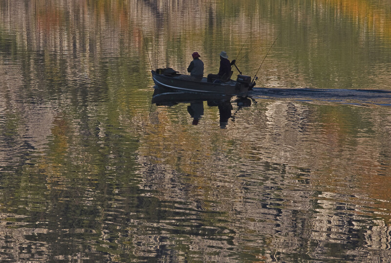
Fishmas is fabulous! We know you love fishing in the Eastern Sierra. So do we. We also know that we love to do lots of other fun, fantastic things out here and perhaps you do too.
If you’re a member of a fishing family, but you don’t fish OR you find that you need a change of pace or scenery—here are a few suggestions of alternative things to do during Fishmas.
Perhaps you only have a couple of hours to yourself (maybe with kids and dogs) or you have a whole day to yourself and you’re looking for a challenge. Here are a few things you might want to try out.
Hike
A springtime hike in the Owens Valley is pure joy. Daytime temperatures are pleasantly warm and the hours of daylight increase with each day. The trees and bushes are blossoming and wildflowers can be seen in the fields and alongside streams. There is a sense of rejuvenation and the breeze carries the sweet perfume of life in renewal.
The Owens Gorge
The river runs clear and deep and the gorge is a magnificent riparian habitat with an increasing biodiversity following rewatering and ongoing restoration by the Los Angeles Department of Water & Power (LADWP). Bird species are flourishing and a native fish, the Owens Tui Chub, once threatened and endangered, is now protected in this predator-free habitat.
From Bishop drive north for about 12.5 miles along Highway 395 to the Gorge Rd intersection (at the bottom of the Sherwin Grade) and turn right onto Gorge Rd. Head east for .7 miles then turn left at the T-junction. Follow Gorge Rd up the grade for 3.3 miles, turn right and park in the clearing to the right of the road. A chained gate restricts vehicle access and this is where the hike begins.
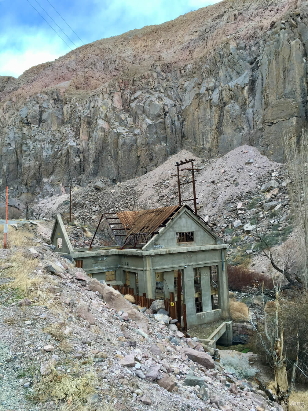
It’s a leisurely an out and back (or down and up) for as far as you wish to hike. The first 1.25 miles is paved to the LADWP power plant and just beyond that the track becomes dirt. Further upstream you’ll come across the skeletal ruins of a now derelict power plant and on either side of the river you’re likely to see climbers testing their skills on these vertical walls. Continue further and the track becomes a trail and scrambling and clambering become the order of the day. Take a picnic and find a sheltered spot to sit quietly and listen to the tumbling call of the canyon wren.
Return to your vehicle the way you came. You can’t get lost the canyon walls will guide you.
The Tungsten Hills
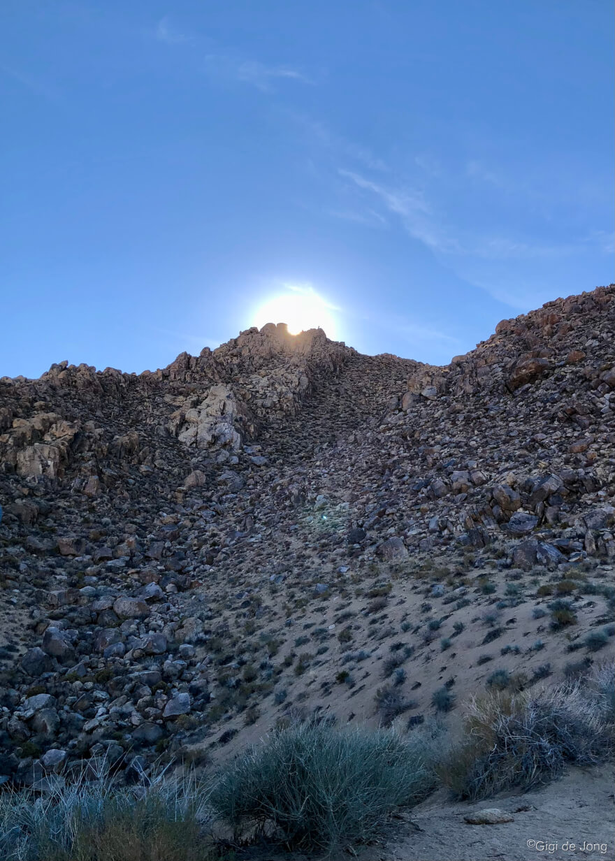
Spring in Bishop! The air is warm and the sun is bright and hiking out across the sagebrush and up onto the rocky outcrops of the Tungsten Hills is especially lovely at this time of year. With easy access from the Horton Creek campground (closed for camping during winter) you can park your car here and take a short walk or long hike up and around this fascinating geological feature.
The hills are named for the tungsten that was mined here until the late 1940s and are composed primarily of granite and quartz diorite. It’s a favorite place for rock hounding and crystals of red garnet can still be found here.
Springtime brings the birdsong as large populations of breeding songbirds nest along the willow-lined streams that meander among the hills. It also brings the desert peach into bloom with its pink blossoms and jasmine-like scent giving soft color and sweet fragrance to this arid landscape.
The bitterbrush presents its yellow color and spicy perfume in late spring and you’re very likely to see mule deer, often in large herds, which have wintered in the foothills to feed on the tender shoots of the bitterbrush and sagebrush. You’ll probably see jackrabbits, ravens, red tailed hawks and, if you’re lucky, a chukkar. Towards dusk you may hear or see coyote as they begin their crepuscular activity of looking for a meal. Know too that there are mountain lion in these hills. Sightings of these big cats, which biologists call Puma concolor—literally ‘cat of one color’—are rare and no attack has ever been recorded in the region.
Whether you have an hour or a whole day to explore this region it’s well worth the time. The views are breathtaking with vistas in every direction from the numerous peaks. Survey markers can be found on many of the peaks and only two, the Tungsten Point and the unnamed Tungsten Hills highpoint, have summit registers. If you’re a peak bagger, you should definitely add these to your list.
Remember to dress in layers. Bring the kids, the dogs, your friends, lots of water and perhaps even a picnic. Definitely bring your camera.
Lower Rock Creek
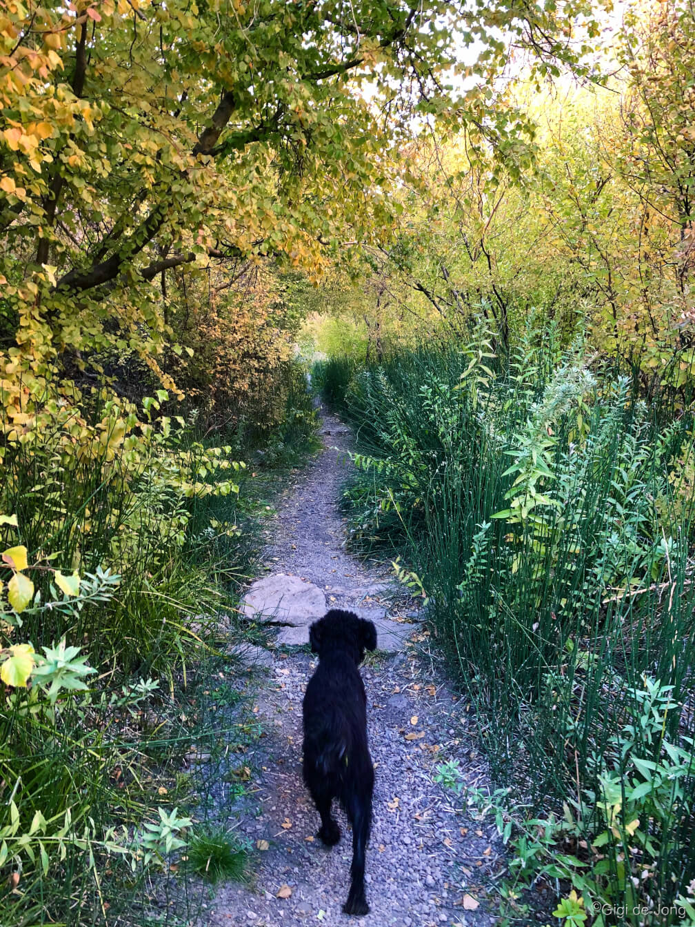
Lower Rock Creek trail weaves among tall Jeffrey pines and thick groves of aspen trees as it follows Rock Creek from the top of the Sherwin Plateau down the narrow canyon for about 8‑miles one-way. It is regarded as one of the best mountain bike trails in the region, but it also gives hikers the chance to experience the remoteness of a narrow canyon trail without having to hike into the high country. The trail is divided into three sections and it can be hiked up or downhill from any of the four access points.
Take an out-and-back hike as far you like from the lower trailhead at Paradise. To get there from downtown Bishop drive about 10-miles north on US-395 (N. Main St.) to the junction of Pine Creek Rd. and turn left. In less than 500-feet turn right onto Old Sherwin Grade Rd. Follow the road for 5-miles. At the sharp left hand turn where the road begins a climb through the settlement of Paradise, turn right into the parking lot for the lower trailhead. Follow the pedestrian signs for the trail. A vault toilet is available for use here.
Bike
There are trails and tracks that challenge skill, fitness and even courage. There are leisurely rides and strenuous rides. Some are long and some are short. There are routes that need a shuttle ride and routes that loop you back to where you started.
Whenever I have a chance to go for a bike ride, I ask myself a couple of questions. How much time do I have? How hard do I want to work? Am I going alone or with a friend? And … you know what? The answers always point to the perfect ride for the moment. Then I grab the right bike for the ride: mountain bike, fat bike, road bike or touring bike. Gosh, there are so many biking options around here—but for now let’s just focus two.
Road Bike Ride
A local favorite is the Pleasant Valley – Round Valley loop. On a super spring day in Bishop a road bike ride is just what the doctor ordered. It’s just over 16.5 miles of quiet country lanes and a pleasant (car free) ride along the shores of the reservoir. It has uphills and downhills, sharp corners and sweeping bends. It’s one of those rides that has a little of everything in just the right measure.
One route guide starts and ends at the Millpond Recreation Area, about 7 miles west of Bishop just off US Highway 395, on Sawmill Rd. There is plenty of parking and amenities include restrooms, picnic area, and a playground. It’s a lovely spring day starting point and it really is a pleasant ride!
Have a look at our Road Biking page for lots more options. If you need help with your bike, gear or just have a great chat about biking in Bishop go visit the folks at Aerohead Cycles.
Mountain Bike Ride
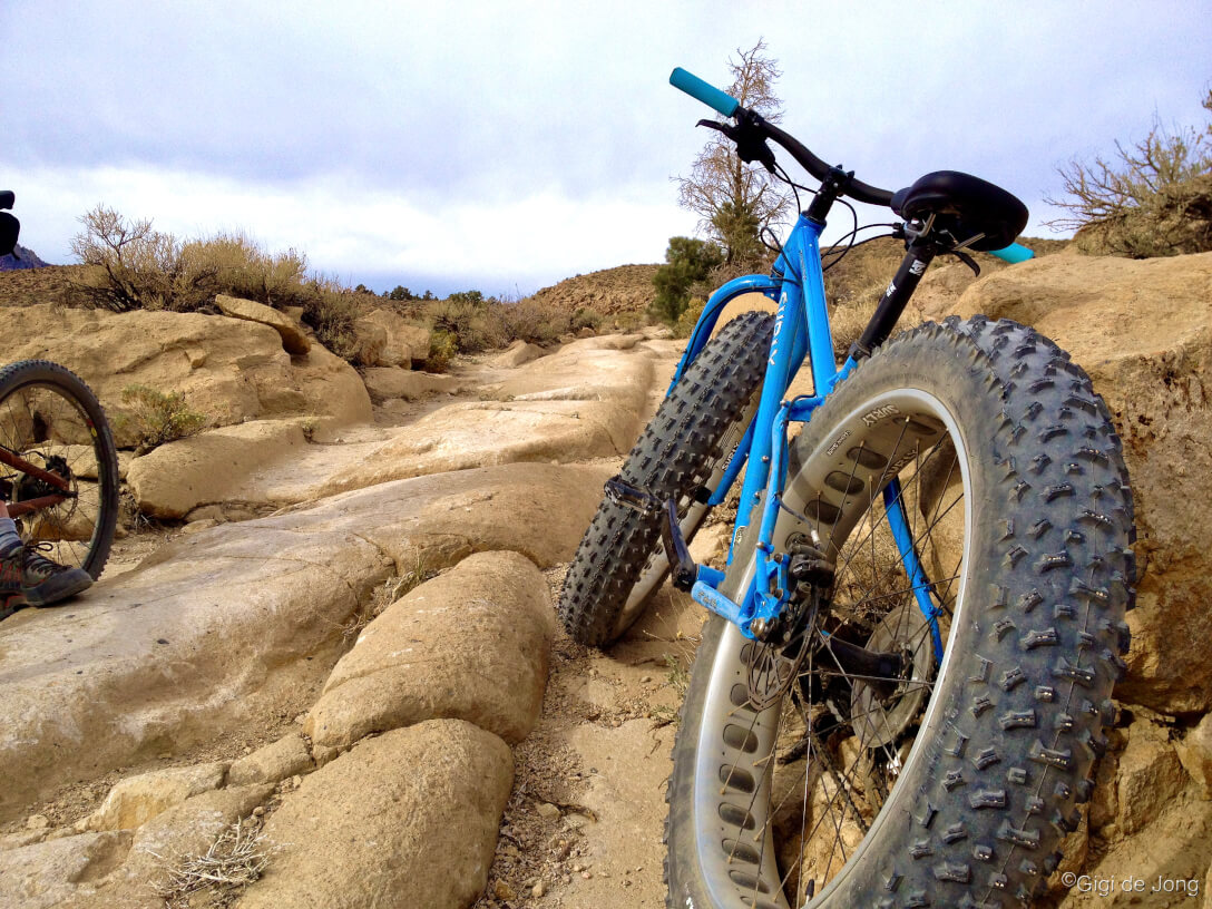
The Wagon Wheel trail runs along a bit of fascinating Owens Valley history. In 1870 James L.C. Sherwin made a rough road from Sherwin Meadows, which is now the settlement known as Swall Meadows, to haul lumber down to Round Valley. Some years later he built a toll road, the High Road, that connected Round Valley with the historic Mammoth City. For many years, huge mule-drawn wagon trains weighing many tons cut through the Bishop Tuff, which is the volcanic rock that forms this massive escarpment. Their passage left deep scars in the rock and this is now part of the current Wagon Wheel biking and hiking trail.
Begin the ride at a sandy clearing above Swall Meadows, on Sky Meadow Rd., and weave down a narrow, sandy canyon for about a mile to a crossing at Swall Meadows Rd. Turn left onto the road and ride about 250 feet to a small turnout on the right (south) side of the road. Cut across the turnout and through the low rocky barrier onto the trail. The head out onto the wide bluff that drops over 1,000 feet in 2.5 miles of technical terrain that runs along of old wagon train ruts. The trail runs out through a wide, sandy depression at the north-west side of the settlement of Paradise. Hop onto the old Sherwin Grade road and coast the last 0.5-miles to the Lower Rock Creek trailhead.
This is a great downhill ride with a shuttle pick up in Paradise. Or park a vehicle at the sandy washout above the town and start the ride with a strenuous uphill climb to the junction of Swall Meadows Rd. and zoom back down the trail. That’s a total ride of 5-miles with 1,000 feet up and 1,000 feet down.
There are lots more trail suggestions here on our Mountain Biking page.
Motor Touring
Sure, the Eastern Sierra is well known for Fishmas! It’s also well known for its motor touring and excellent OHV roads and trails. There are many great gravel roads and jeep tracks for exploring the Eastside.
Fish Slough & Chidago Canyon

Fish Slough is a protected riparian area and one of the richest wetland floras in the Great Basin with over 125 plant species, including eight rare species. Fish Slough Rd. runs north along the Volcanic Tableland that was formed by a massive volcanic eruption 760,000 years ago. This is a vast untamed plateau of rocky outcrops, water-gouged washes, and weather-beaten canyons. The White Mountains rise 10,000-feet to the east and the rugged Sierra Nevada rise even higher to the west. It’s a huge and impressive landscape with numerous natural and cultural sights.
Drive north from Bishop for about 2-miles and turn left onto 5 Bridges Rd. and continue for 2.5‑miles to a multi-road intersection at the base of the Tablelands. Turn right onto Fish Slough Rd. Cruise for 17-miles then turn left onto Chidago Canyon Rd. and slice through a narrow, shallow, steep‑sided gorge. As the gorge opens up 3-miles further stop and look for the ‘Headless Miner’ etched in the rock. The scenery is evocative of the old west and the hardships endured by the pioneers who first encountered this ancient landscape. Return along Chidago Canyon Rd. and south onto US-6 to keep the tour time short. A longer loop exists by continuing east and returning on Casa Diablo Rd., but this may need more preparation to pinpoint the route and establish the road condition. It is possible to get stuck and lost out here so ask a local to help you plan this loop.
Check out this video of driving the narrows in Chidago Canyon!
Big Bishop Loop
A big circumnavigation around Bishop that connects paved and gravel roads into a 62-mile loop will present views and scenes that will take your breath away. Stop at each vista to look and capture the images that will be the memory album of your visit to this magical place. Take look at the full tour here.
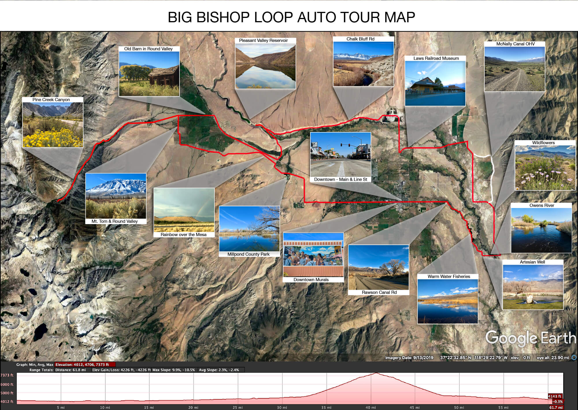
Stop and snap Instagram-worthy photos to share with family, friends and the world. Remember to include the hashtag #visitBishop so we can see our big backyard through your eyes.
- Downtown Bishop
- Owens Valley Warm Water Fisheries
- Owens River
- Wildflowers in Spring
- Laws Poleta Rd.
- McNally canal dirt track
- Laws Railroad Museum
- Volcanic Tablelands
- Pleasant Valley Reservoir
- Pine Creek Canyon
- Round Valley
- Downtown Murals
Click here to download a .gpx file for your GPS device.
Photography
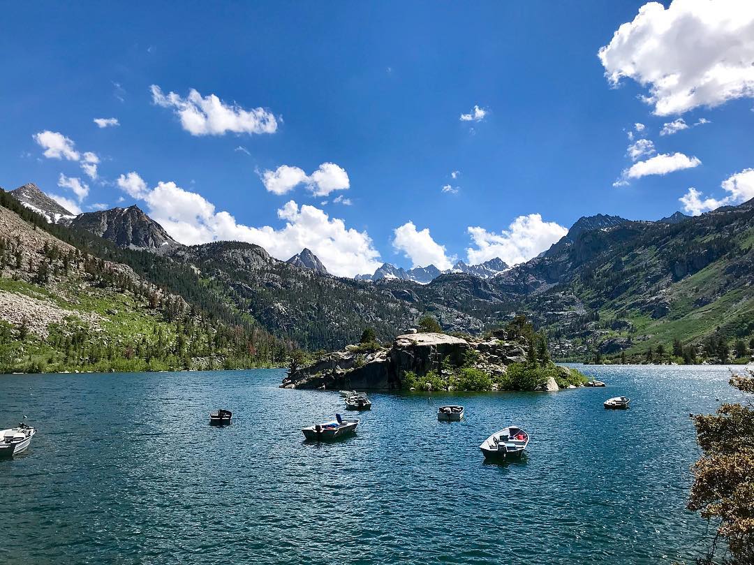
Photography is a passion for many in the Eastern Sierra. For those who live here or visit regularly photography is often a daily activity. Sometimes it’s just a momentary opportunity to snap a quick image. Other times it’s a commitment to time and place to capture a specific scene.
First time visitors are, almost without fail, thoroughly awestruck by the grandeur of this landscape. Cameras and smartphones are ubiquitous in the hands of tourists and frequently pointed toward the peaks of the Sierra Nevada. It stands to reason then that this beautiful region is one of the most photographed in California.
Sunrise and sunset are favorite times of day to photograph the changing colors on the mountain ridges, in a sky of clouds, and in reflective pools. The bloom has begun this spring and just about everywhere you look is a picturesque landscape.
Take a look at this previous post about all the great photography features in our big backyard.
Waterfalls
Fishmas means water. Water in the Eastern Sierra means waterfalls. You’re likely to be near some of the wonderful waterfalls that feed the streams and lakes you’re fishing. Why not get a close up look at a couple of them? Two great falls to see during Fishmas are First Falls along Big Pine Creek and Cardinal Falls in Bishop Creek Canyon. For an extensive list of waterfalls in the Eastern Sierra visit our Waterfalls Guide here.
First Falls, Big Pine Creek
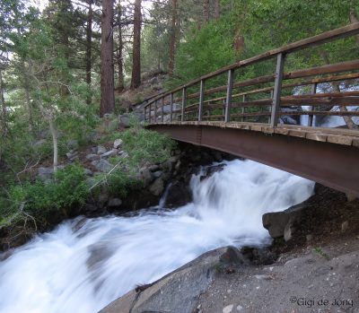
These falls are located along Big Pine Creek about 10 miles west of Big Pine. The hike to First Falls is an easy quarter-mile hike with less than 200 feet of elevation gain. The trail crosses an impressive cascade over a wide, sturdy wooden bridge. It’s a popular photo spot with all the elements for great people and nature pics.
From US-395 in Big Pine turn west on W. Crocker Ave. Follow the road, which becomes Glacier Lodge Rd, for 10.5 miles to where it ends at the trailhead parking area. It’s a gorgeous drive and there are vault toilets available at the parking area. There is no view of the falls from the trailhead, so take the short ¼-mile hike to get right up to the First Falls.
Cardinal Falls
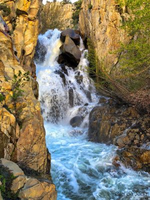
Cardinal Falls cascades down a narrow chute from the rim of North Lake, which sits in a hanging valley above Cardinal Village Resort. It falls into the deep valley below, where the village and the old Cardinal Mine site are located, then cuts down the canyon into Bishop. The cascade is fullest in spring when the winter snow melt runs from North Lake over the rim into this chute.
Drive 17-miles from Bishop along US-168 west (W. Line St.) toward Lake Sabrina to the village of Aspendell. The falls can be seen from a distance along the road beyond Aspendell or up close following a short, but strenuous and technical hike from the resort in the valley below. The long view of the falls is a stunning vista of canyons and crags, and forests and streams. The close-up view of the falls delivers the power of the cascade on all the senses—sight, sound, and vibration. Take care here as the rocks may be slippery.
Downtown
Walking Tour – Bishop Murals
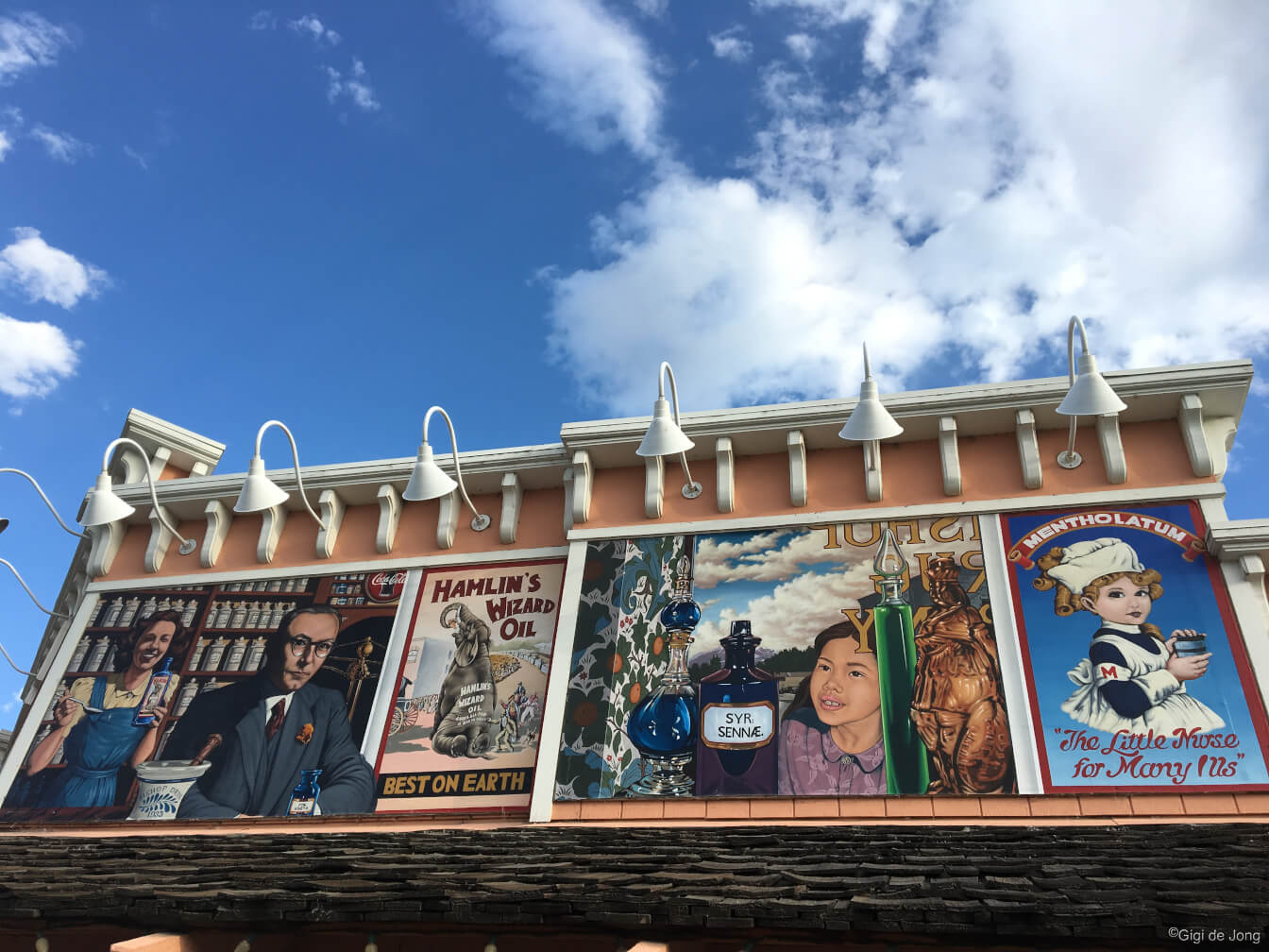
Scenes of the past and notable moments of history in the Owens Valley are depicted on the exterior walls of many buildings throughout Bishop. Historically accurate and visually beautiful murals can be seen along an easy walking route through downtown. In an hour or less you can stretch your legs and let your imagination wander back in time as these beautiful works of art conjure up images of what life was like in this high desert community.
Start your tour from wherever you happen to be stopped or staying in town and choose the direction and pace to suit yourself. The murals project began in 1997 when the Bishop Mural Society was established, “to display our heritage in a spectacular outdoor art gallery surrounded by natural beauty.” Today there are fifteen murals, the most recent of which is made up of 421 sculpted ceramic tiles and mosaic, created by 216 community members. Pick up a map at the Bishop Visitor Center or follow the links online on the society’s webpage.
Bishop’s Big Backyard
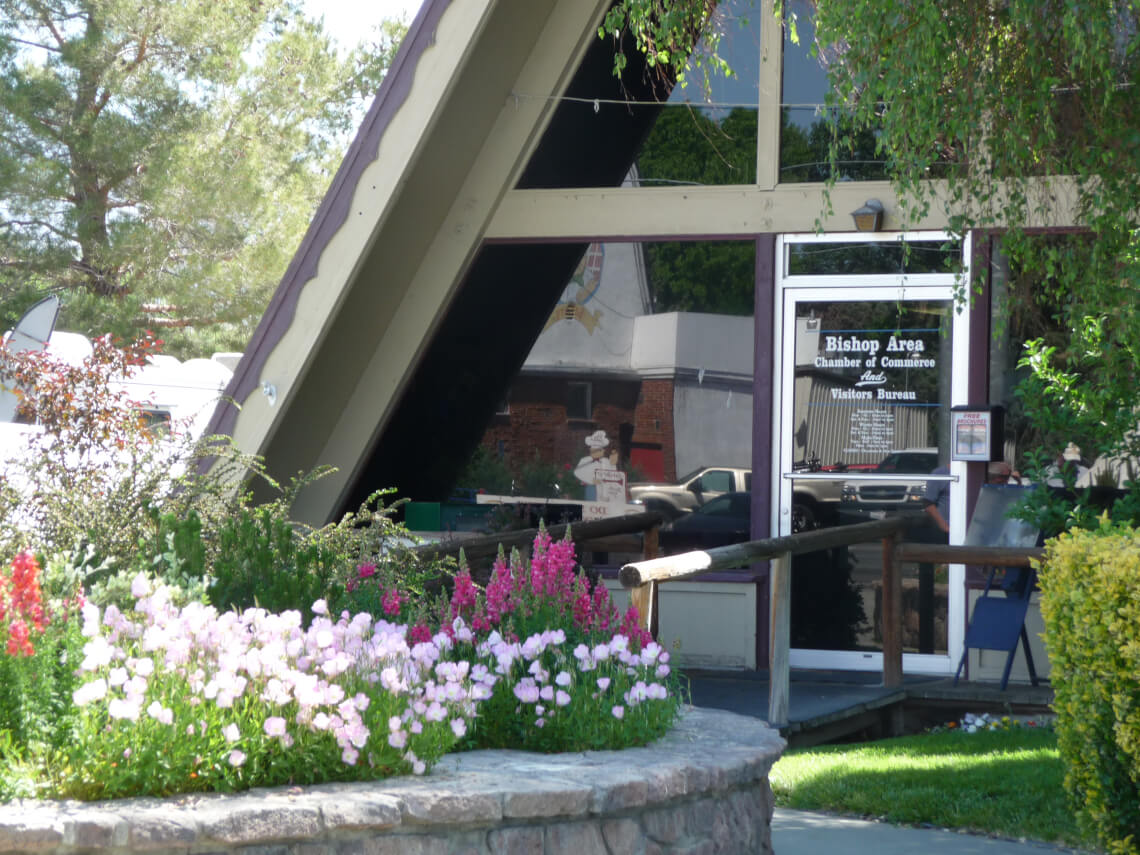
Let us help you celebrate Fishmas with all that our beautiful area has to offer. Find out more about best places to fish, what you need, how to find a fishing guide, where to party … oh just about anything you want to know we can probably tell you. We’ll also help you find other fun things to do and places to see.
Come on into the Bishop Visitor Center at 690 N. Main Street.
