Big Pine Lakes Region: Peerless in its Beauty
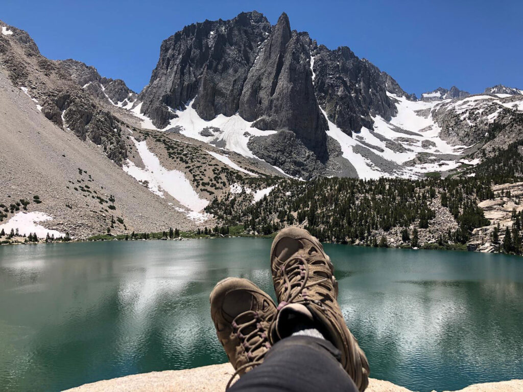
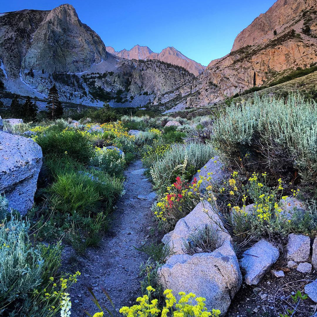
Below a towering wall of granite with numerous peaks rising to over 14,000-feet elevation lies the southernmost glacier on the continent. A glacial staircase of lakes descends along the North Fork of Big Pine Creek through alpine forests, flowering meadows, and rocky outcrops. Massive rock buttresses raised and carved by the forces of nature punctuate the skyline and the turquoise blue lakes reflect their surroundings in the style of 19th century impressionists.
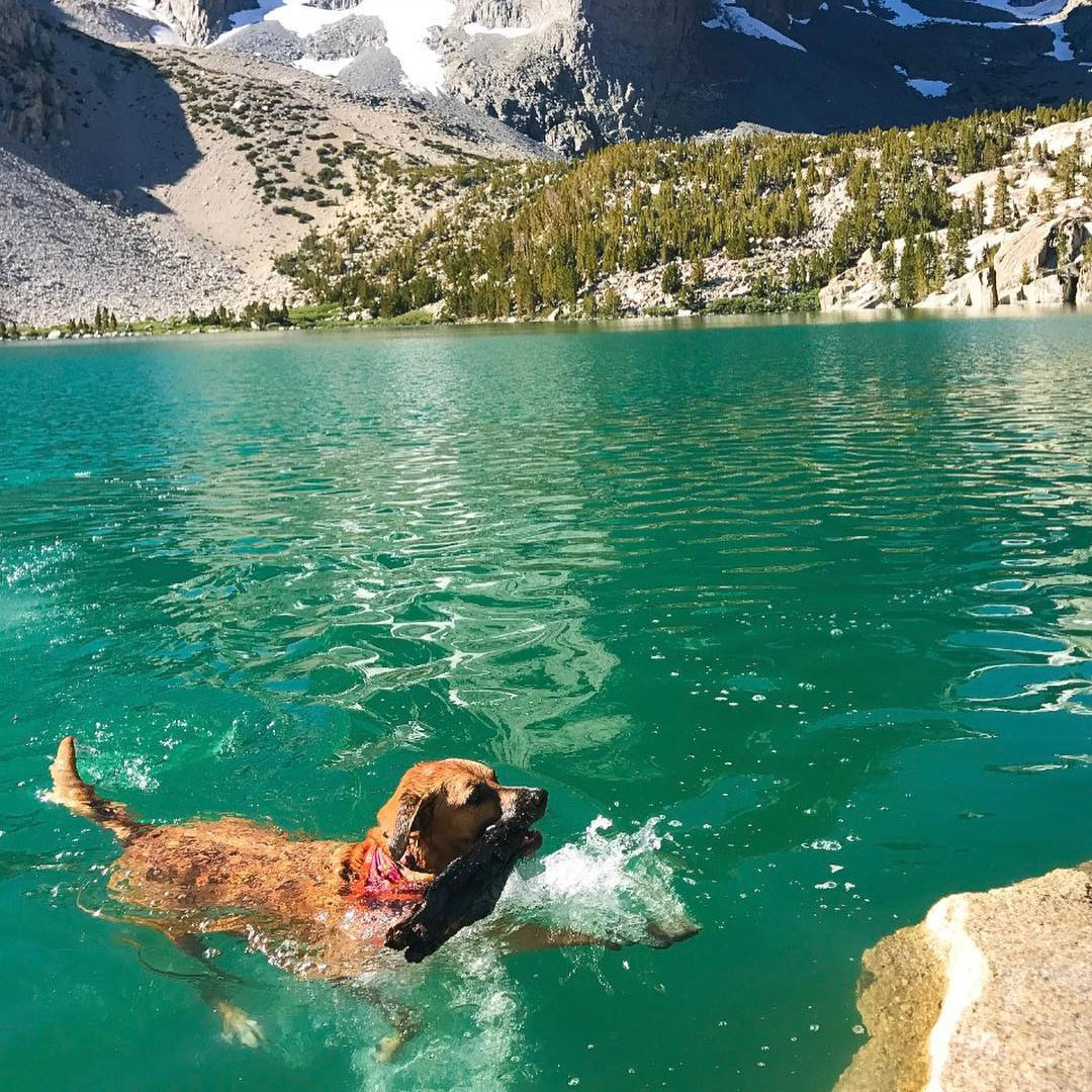
The Big Pine Creek North Fork Trail is considered one of the most beautiful hikes in the country. The trail is fondly called the numbered lakes trail for the seven lakes, named 1st through 7th, that lie scattered along the creek. More lakes fill the depressions in the cirques below the jagged crest above.
This area is peerless in its beauty, and ripe with opportunities for casting a line into the waters. Fishing is popular here and the lakes are home to these species: browns, brookies, rainbow, and golden; the latter are found only in Summit Lake. See the California Department of Fish and Wildlife’s interactive fishing guide for this area here.
The trail and area are also popular for hiking, trail running, horseback riding, backpacking, and peak bagging. Day use is open to all without a permit, but overnighting anywhere in the wilderness requires a permit. A limited number of permits are available, with 60% of the quota being released up to 6-months in advance and 40% available up to two weeks in advance of desired entry date. More information and reservations are available here.
The notable feature of this area is Palisade Glacier. It is the southernmost permanent glacier in the United States and the largest in the Sierra Nevada, it’s almost 1-mile long and ½-mile wide. This glacier descends from four 14,000-foot peaks (fourteeners) into a cirque it has cut over thousands of years. Considering that only 15 fourteeners exist in California (14 of them in the Sierra Nevada) these four fourteeners in close proximity, all acting on the formation of one glacier, is a unique set of geologic features.*
Getting up to the lakes region all starts with a hike. The first 1/4-mile of the trail is easy with less than 200-feet of elevation gain, at which point you will be rewarded by a cascading waterfall spanned by a lovely wooden bridge. After that, it’s a moderate to strenuous hike and can become a long day if you’re not fully prepared. The elevation climbs as relentlessly as your anticipation.
Know what to expect. Be prepared. Enjoy some of the most beautiful scenery in the country. Some say it’s the Patagonia of California.
*Only 12 of California’s fourteeners are considered ‘true’ fourteeners, based on the commonly used rule in mountaineering that peaks must have a 300-foot prominence to qualify. Of the 4 fourteeners that feed Palisade Glacier (North Palisade, Polemonium Peak, Middle Palisade, and Mt Sill) Polemonium Peak, although 14,080‑feet, does not have the required 300-foot prominence to be classified as a ‘true’ fourteener.

