Tungsten City Running Loop
MAP: https://www.gaiagps.com/public/IgX9li7fFRPWhS4UdYK8qXyX
Distance / Elevation: 4 miles / 850 feet / Counterclockwise loop
Start GPS Coordinates: 37°21’38.5″N 118°30’15.6″W
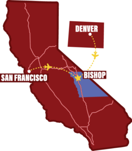
Directions to Trailhead: Take Highway 395 north from Bishop for 5 miles and turn left (south) onto Ed Powers Road. In 1 mile, turn right (west) onto Tungsten City Road, and follow the dirt road for 1.5 miles to the turn-out parking on the left.
Difficulty: Medium. This 4 mile loop has a few steep and sandy ups and downs while winding along singletrack through sage and boulders.
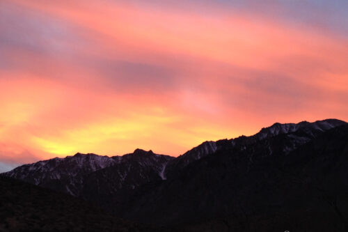
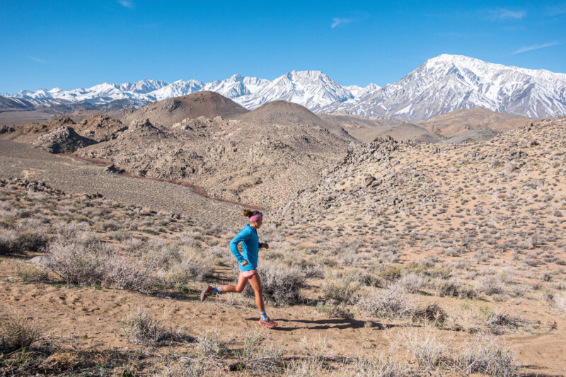
Views: The famous Bishop Skyline spans along the trail. Up close and over your shoulder views of Mount Humphreys, Basin, and Mt. Tom.
The Tungsten Hills sit directly beneath the Sierra skyline towering above Bishop. The rocky mounds are webbed with trails and OHV roads. With plenty of options, it’s a playground for winter trail running. This Tungsten City Loop is a 4 mile run that gets you close to the big mountains with no shortage of additional miles if you desire a longer run.
From the pull-out parking, drop toward the creek but bear right on a small singletrack paralleling the creek bed. Follow this trail. A gradual sandy climb through the sage aims you toward the Sierra. Entering the boulders, the trail T’s with a larger trail. Turn south (left).
This trail continues to climb through switchbacks before rolling over and dropping to McGee Creek lined with willows. Cross the wooden bridge and the trail rises back up to a broad, flat plateau where it meets a dirt road. Follow the road for about 300 feet, turning right where the dirt road forks. In another couple hundred feet (where the road bends to the right again) stay straight, launching onto a long stretch of singletrack.
Stay on this singletrack, crossing a couple roads, and curving along Birch Creek. The trail becomes sandier, rounding a large mound, and funnels onto a dirt road.
Settle in for a steep, sandy, quarter-mile climb to a small saddle. Where the road turns left to keep going up, you’ll turn right through the saddle. Follow the singletrack for a short traverse before a sharp left turn and a rapid drop.
At the bottom of the descent, you’ll reach a trail leading north that merges into a dirt road and back to where you started. To learn more, visit @sierratrailruns
Photos by PatitucciPhoto
Written by:
Dan Patitucci
PatitucciPhoto is a team of three photographers and athletes, Dan & Janine Patitucci, and Kim Strom. Their commercial & editorial work has appeared around the world for countless ad campaigns, magazine stories, and communication for the outdoor industry’s leading brands. In 2021, along with Hjördis Rickert, the four produced Sierra Trail Runs : A Guide to the Eastside, a guidebook and online resource to trail running in the Eastern Sierra. You can follow them at @sierratrailruns