Having the ability to see what’s happening NOW visually is a key asset in your tools for planning and traveling. To help put this information at your fingertips, we’ve created a know before you go page with access to all the relevant Bishop webcams as well as real-time weather info.
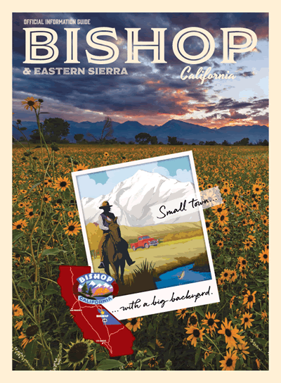
Big Backyard… Even Bigger Elevation Change
While Bishop sits at around 4,500 feet above sea level and rarely gets snowfall, it is surrounded by mountains on both sides. Even if you’re staying in town mid-summer, it’s a good idea to take a quick peek and see what’s going on up high. For a full list of webcams in our area as well as current weather, visit the Bishop webcam page.
Winter Travelers Take Note
Even though Bishop is a warm winter weather wonderland, if you’re traveling from the West, you will be required to cross the Sierra Nevada. This mountain range has peaks that top out above fourteen thousand feet and are rugged. Be very aware that many of the high mountain passes are closed from the 1st snowfall (as early as October) and may not open until the snow melts (as late as June or even July).
The following passes are typically closed for winter:
- Monitor Pass, CA 89
- Ebbetts Pass, CA 4
- Sonora Pass, CA 108
- Tioga Pass, CA 120
- Minaret Summit, CA 203
- Sherman Pass, Sherman Pass Road
Current Road Conditions
During storm cycles, not only is access through the Sierra prohibitive, access to Las Vegas over Westgard Pass, CA 168 can be slick and snowy. Access through Death Valley may be flooded at times. Traction devices may be required to get up to Mammoth Mountain and further north on Highway 395. For those traveling via car, the best source of current information on road conditions within California is the Caltrans QuickMap at quickmap.dot.ca.gov. This real-time tool lets you read highway message signs and watch live feeds from traffic cameras. If you’re coming from Nevada, see the Nevada Department of Transportation site at nvroads.com.
Wildfires
Let’s talk about the elephant in the room – wildfires. Residents and visitors to the Eastern Sierra should be keenly aware especially in summer about active fires. Even if it isn’t where you’re going, smoke can drift for miles and reduce visibility. Even authorities may close highways so that firefighters can do their job. Our webcam page provides you with up-to-date air quality and you can get more information about individual wildfires from Cal Fire.
Traveling in the mountains requires you to be informed and have flexible travel plans. With this information available, you can have the best time possible and adapt when necessary. Safe Travels!