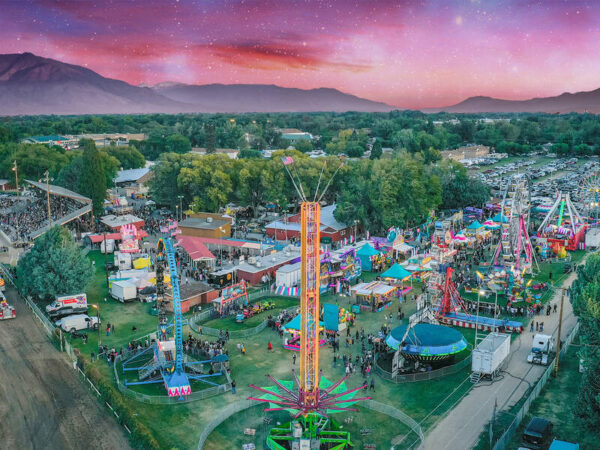
Places to go
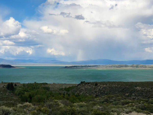
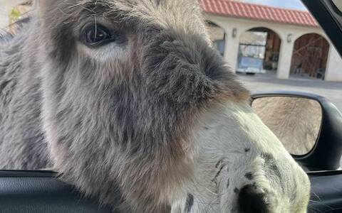
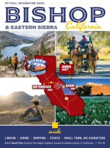
Small town charm, desert landscapes, mountains, and ancient trees.
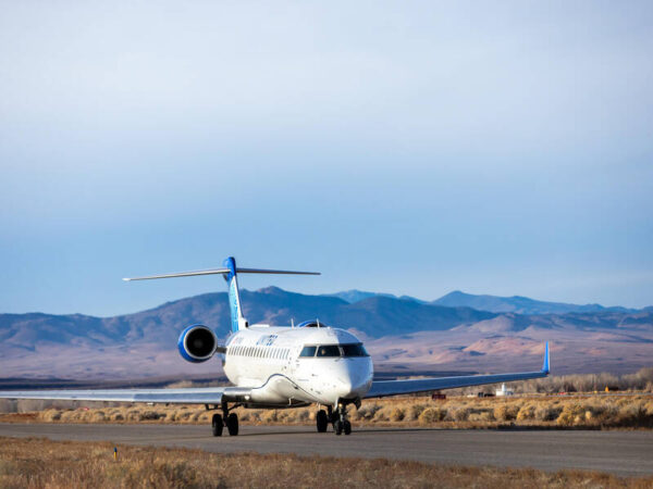
This larger-than-life landscape of deserts and mountains, alpine forests and spectacular waterfalls holds is ready for adventure.
Get the Guide
Seasonal Guides
Plan my visit
Stay in the know. Get the latest news, updates and offers from Bishop.